
Safe Routes to School Map & Survey Available
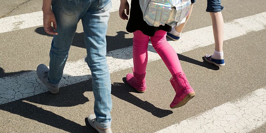
Campbell seeks feedback from families about maps that show safe ways to walk and ride to school.
The City of Campbell’s Safe Routes to School Maps Project aims to create and make available walking and bicycling maps for each of the Campbell Union School District schools located in Campbell or serving Campbell students.
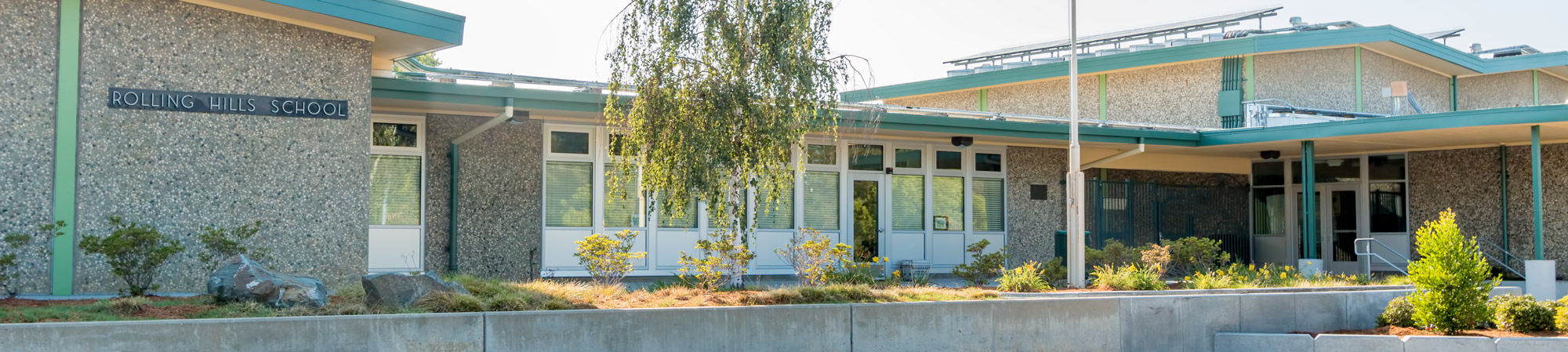
Link to Rolling Hills' map.
Campbell Safe-Routes to School Survey
Please take this quick survey after reviewing the Safe Routes to School Maps. We value your opinion!
Survey in English • Encuesta en español
The project was paid for with 2016 Measure B Education & Encouragement Program funds.
Phase 1 of the project includes three schools: Castlemont Elementary School, Rosemary Elementary School and Rolling Hills Middle School. The City anticipates Phase 2 of the project to include Forest Hill Elementary School and Campbell School of Innovation in Fiscal Year 2024/25. Phase 3 of the project will address Capri Elementary School and Village School in Fiscal Year 2025/26.